ISPRS Congress 2026 · Remote sensing · Generative AI
Teaching satellites to seewhat isn’t there yet.
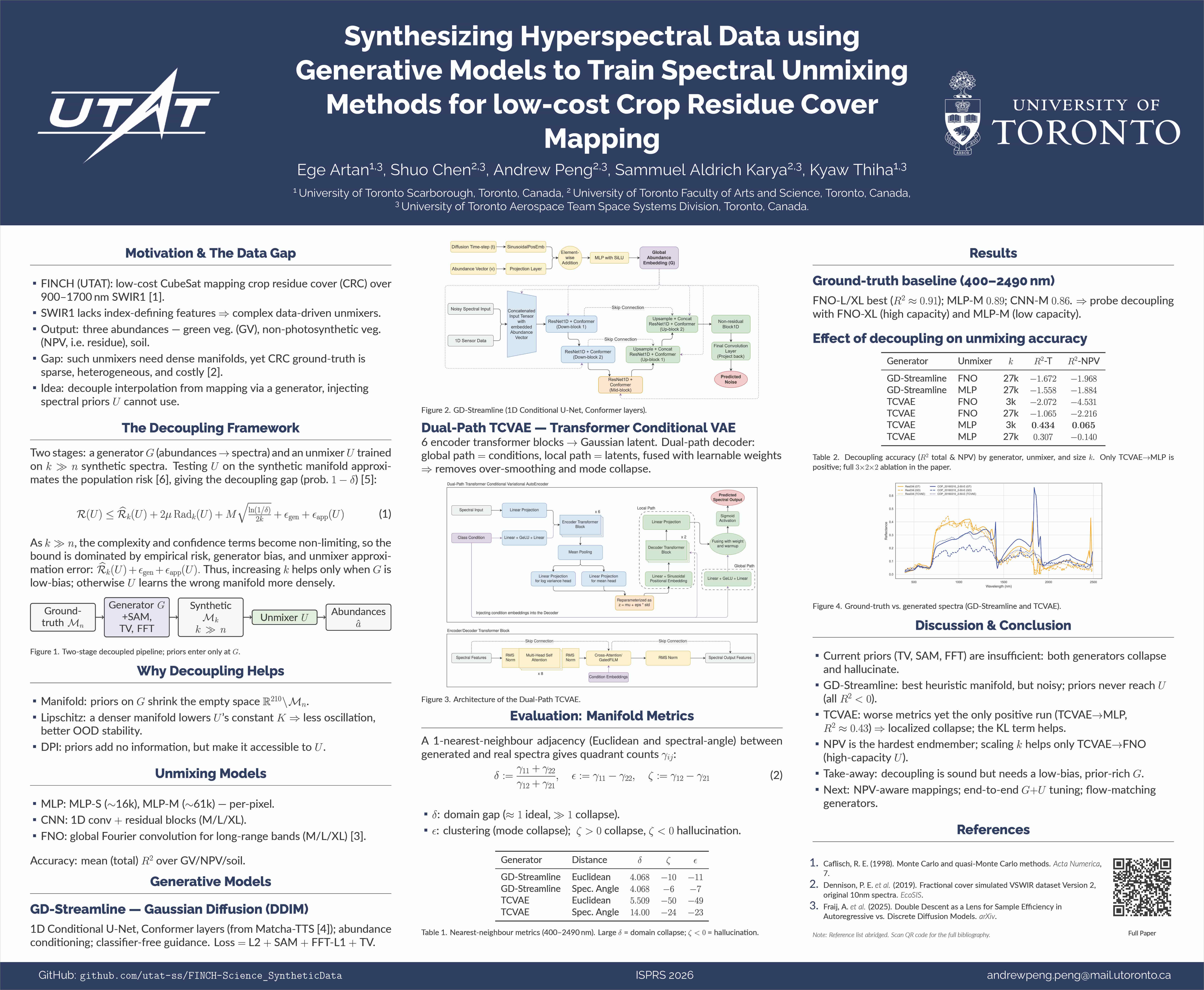
We turn a small set of real hyperspectral observations into a much larger, more useful training world—giving spectral unmixing models a stronger foundation for mapping crop residue cover from low-cost satellite imagery.
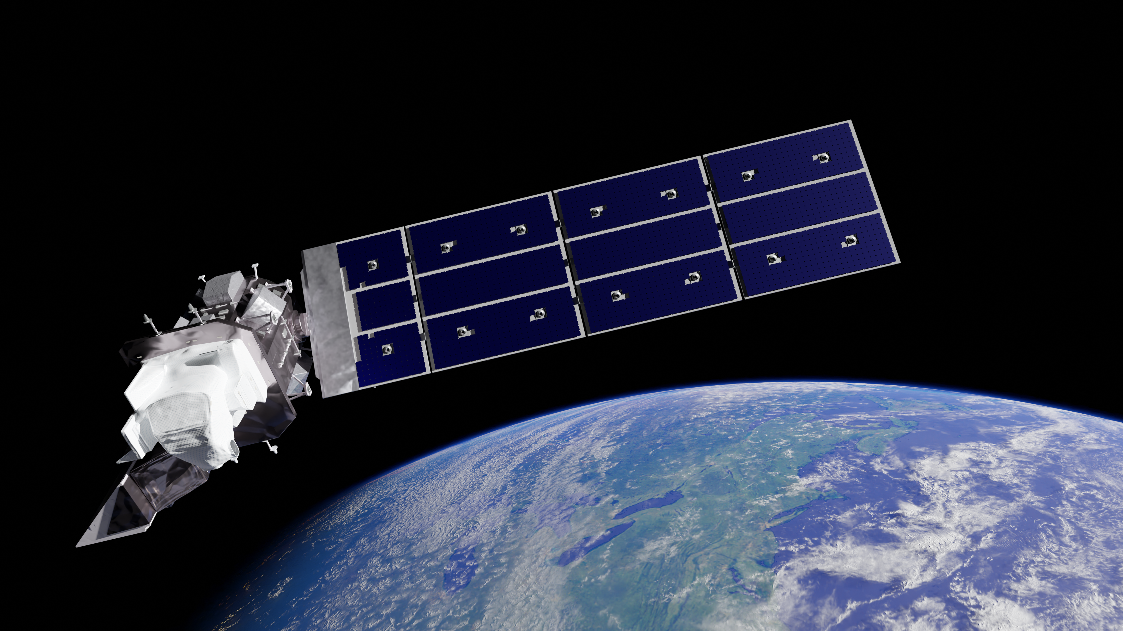
From Earth’s surface to orbital perspective, every spectral signal is part of a larger story.
Better agricultural intelligence starts with better spectra.
Crop residue is a quiet but consequential signal: it helps reveal soil health, erosion risk, and the climate impact of agricultural practices. The difficult part is that reliable hyperspectral labels are expensive to collect, while the satellite systems that could expand coverage operate under tight spectral and budget constraints.
Our project closes that gap with a decoupled generative pipeline. A DDIM generates plausible hyperspectral signatures, while a TCVAE models the structure that makes those signatures useful for downstream spectral unmixing. The result is synthetic training data designed to augment—not replace—the scarce real measurements that matter most.
Why it matters
By making every measured spectrum go further, this work points toward scalable, lower-cost monitoring of conservation practices from space—and a more data-efficient path for scientific machine learning.
Built for the FINCH mission
Remote sensing that makes smarter, more resilient decisions possible from orbit.
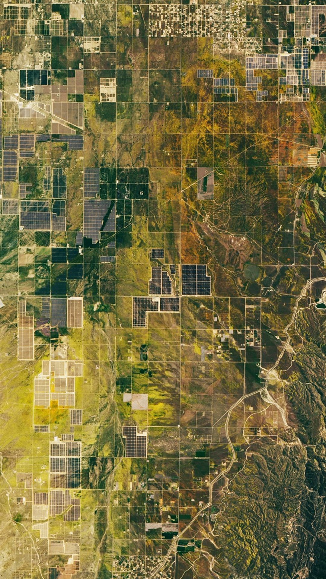
Conference poster
The full story, at a glance.
Explore the work